Autonomous Maritime Systems

Home / Products / Integrated Multi-Modal Marine Perception Platform

Integrated Multi-Modal Marine Perception Platform

4.9 (42 reviews)

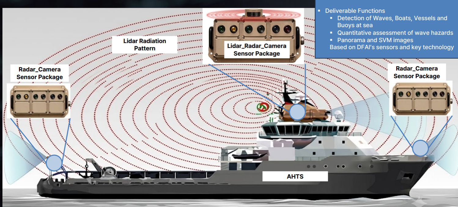
Our Integrated Multi-Modal Marine Perception Platform combines camera, LiDAR, and 4D imaging radar in ruggedized sensor packages connected to real-time edge AI computing. Designed to strengthen short-range awareness around vessels, the platform can support detection and localization of waves, boats, vessels, and buoys, quantitative wave-hazard assessment, panoramic imaging, and 360-degree surround-view monitoring.

Unified Optical and RF Sensing

Camera, LiDAR, and radar data are aligned and fused so the system can use complementary sensing modes across changing maritime conditions.

Real-Time Marine Perception

Edge AI processing turns multi-sensor data into localized objects, wave information, panoramic views, and operational awareness around the vessel.

Where's The WOW?

See how a unified marine perception stack connects rugged sensors, high-speed data links, and real-time AI around the vessel. 

Camera, LiDAR, and Radar Together

Multi-modal packages combine optical and radio-frequency sensing so each modality can contribute where another is constrained. 

Built for the Short-Range Awareness Gap

The platform is designed to strengthen perception close to the vessel, complementing GPS, AIS, and longer-range marine radar. 

Real-Time 360-Degree Radar Intelligence

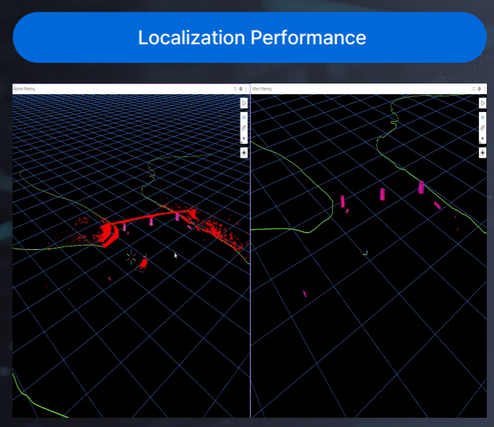
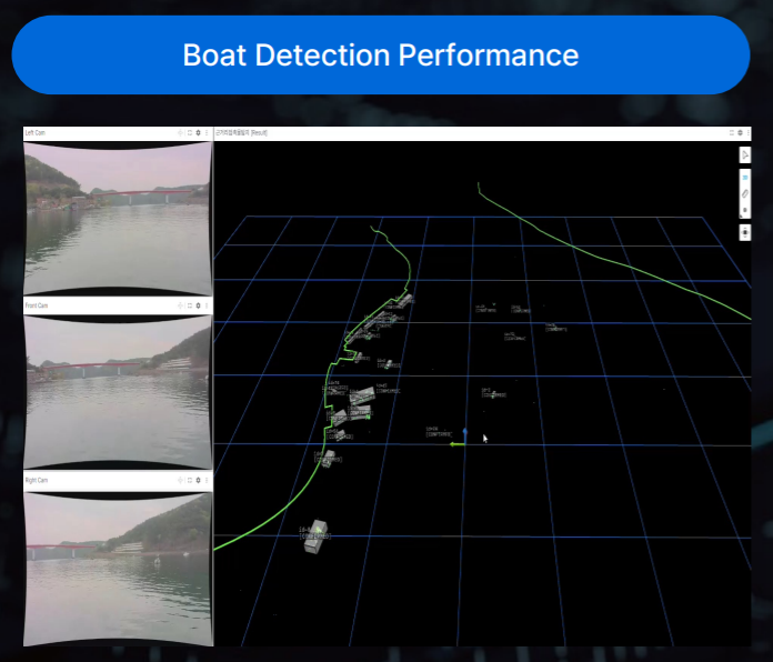
Multi-radar deep learning aligns surrounding point clouds for continuous object detection and localization. 

Objects and Sea State in One View

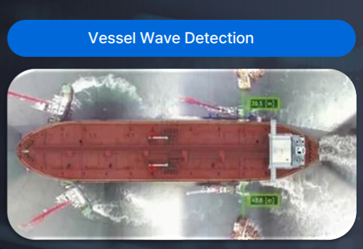
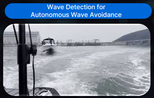
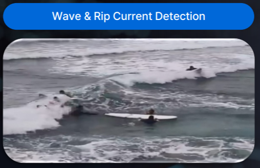
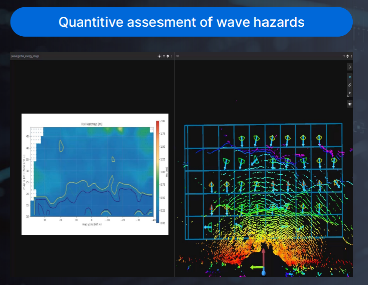
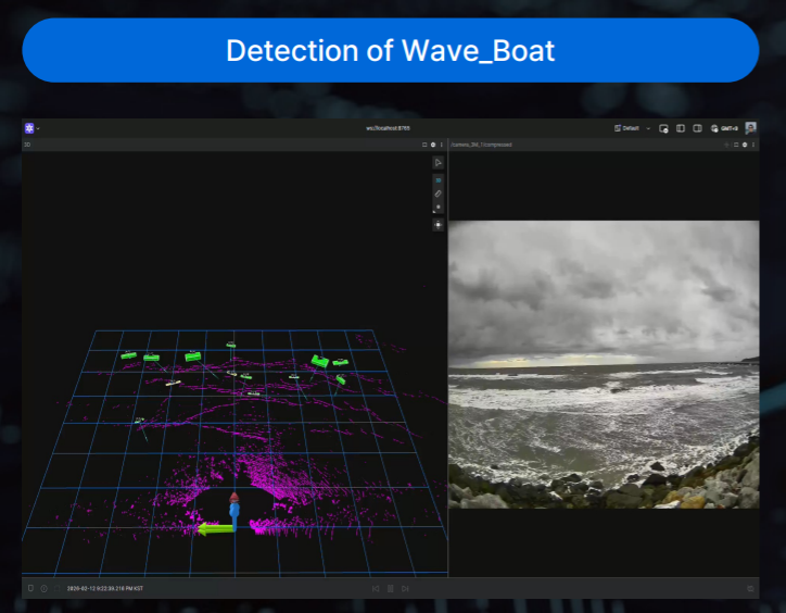
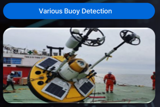
The proposed functions include waves, boats, vessels, and buoys, together with quantitative assessment of wave hazards. 

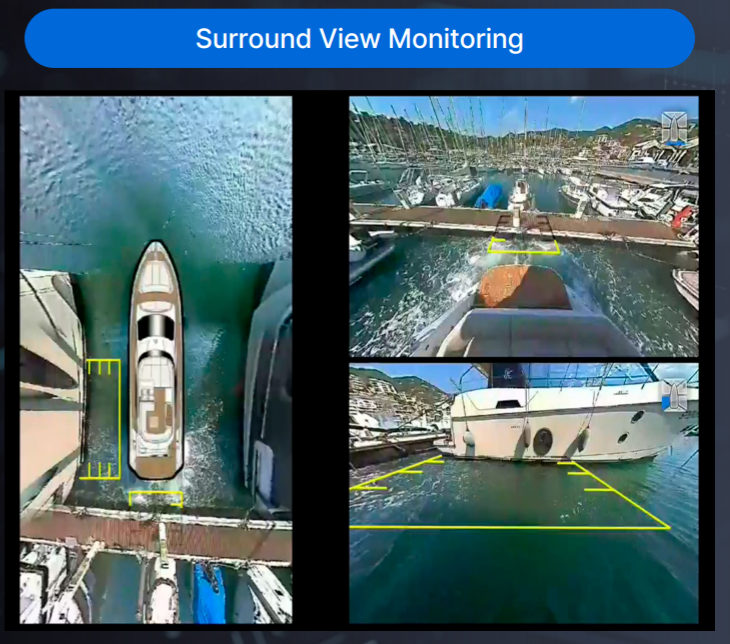
Panorama and Surround View Monitoring

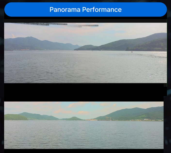
Image processing combines multiple camera feeds into panoramic and bird’s-eye operational views. 

Modular Edge AI Architecture

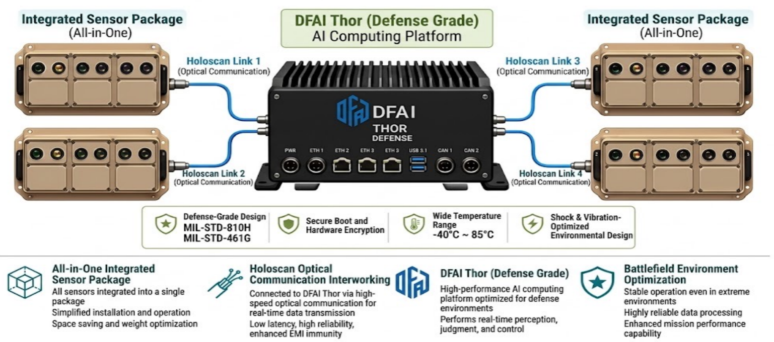
High-speed optical links connect distributed sensor packages to onboard AI computing for low-latency processing and flexible vessel layouts. 

Curator's Comments

“Maritime perception is strongest when no single sensor is asked to do everything. By combining optical detail, radar resilience, LiDAR geometry, and onboard AI, this platform creates a more complete short-range picture around the vessel—from nearby objects to the behavior of the water itself.” 

One platform. Multiple sensing modes. A clearer view around the vessel. 

Market Insight

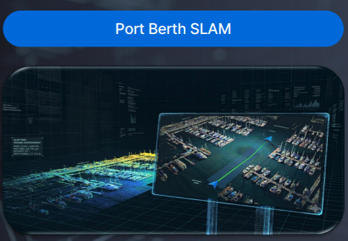
Marine autonomy typically relies on GPS and AIS for identity and long-range context, ocean radar for broader coverage, and optical sensors for short-range detail. Close to the vessel, however, sensor blind zones, sea-surface reflections, spray, darkness, and weather can reduce the value of any one modality. Multi-modal fusion and edge AI provide a path toward more continuous local awareness for autonomous vessels, tug operations, port approaches, berthing, offshore monitoring, and wave-hazard assessment. 

Integrated Awareness for Complex Marine Environments
Complementary sensors, aligned and processed at the edge. 

Contact Us to Learn More About Our Capabilities 

Proposal-Listed Platform Details

Component Draft proposal detail Publication instruction
Integrated sensor package All-in-one camera, LiDAR, and radar package Confirm sensor models, quantities, fields of view, mounting, dimensions, weight, power, sealing, and interfaces
Data transport High-speed optical communication; four optical links shown in the architecture Confirm protocol, bandwidth, latency, redundancy, cable limits, connectors, and EMI/EMC test status
Edge AI compute Rugged onboard AI computing for real-time perception, judgment, and control Confirm processor, throughput, power, I/O, software stack, cybersecurity, safety partitioning, and upgrade policy
Environmental design -40°C to 85°C range; shock- and vibration-optimized design Confirm whether these are component ratings, design targets, or qualified operating limits
Standards shown MIL-STD-810H and MIL-STD-461G Do not imply certification or qualification until reports, scope, configuration, and pass criteria are approved

AHTS Concept and Deliverable Functions

Item Source proposal summary
Conceptual layout One central LiDAR-radar-camera package plus port and starboard radar-camera packages; final configuration requires a vessel survey
Object functions Detection and localization of waves, boats, vessels, and buoys at sea
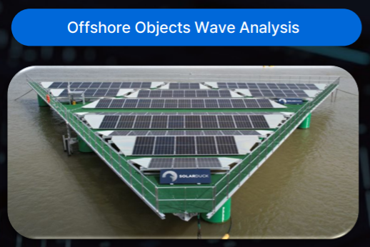
Wave functions Wave detection and quantitative assessment of wave hazards
Visual functions Panorama imagery and surround-view monitoring
Portfolio range reference A separate strategy page lists 5-400 m for short-range multi-radar detection; verify specifically for this AHTS configuration before publishing

Ready to Strengthen Awareness Around the Vessel?

Contact our team to discuss vessel geometry, operating conditions, sensor selection, coverage, onboard compute, data interfaces, validation scenarios, integration services, or a tailored demonstration. 

Consent

Contact Information